 |
 |
 |
 |
||||||
|
|
|
|
|
|
|
|
|
|
 |
|
||
|
Getting to Hā‘ena | |
|
|
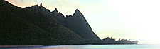
Flying in towards Līhu‘e, Kaua‘i.
|
|
|||||||
|
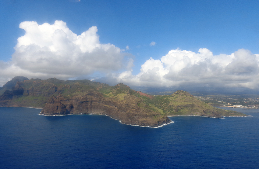
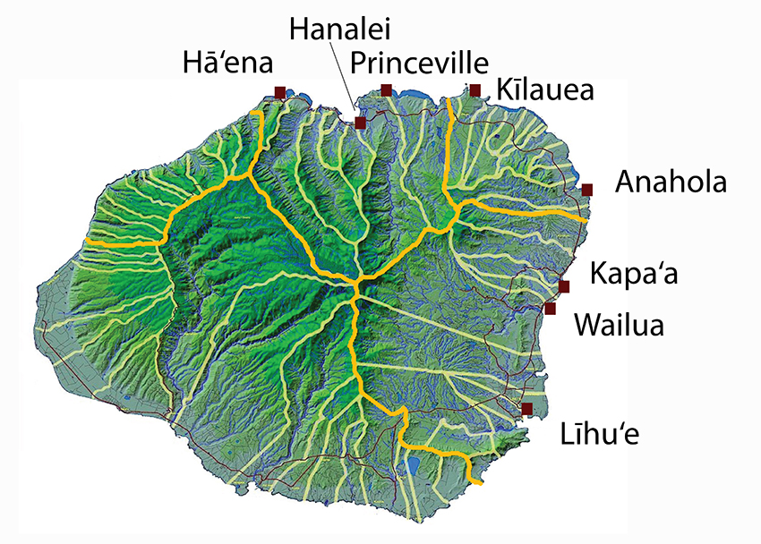 Today most people travelling from outside the Hawaiian Islands would arrive by plane at Līhu‘e Airport on the East side of Kaua‘i. One then drives North on Highway 56, past the royal coconut groves at the town of Wailua, the former seat of power on the island, and through the town of Kapa'a. From there, the urban life of Kaua‘i is largely left behind, as the road continues counter-clockwise around the island through Anahola, then around the spur of the mountains to Kīlauea, famous for its lighthouse out on a rocky point. At a higher and drier spot, the recent development of Princeville is encountered. Carved out of former ranch land, Princeville is a collection of condominiums, vacation rentals, shops, and a resort hotel perched above Hanalei Bay. This recently created community is populated largely by outsiders to the area who bring greater wealth to Kaua‘i's North Shore. Consequently, Princeville hosts a small and mostly private airport, modern medical facilities, and the fire station whose service area reaches all the way to Hā‘ena.
|
|
|||||
|
|
|
|
|
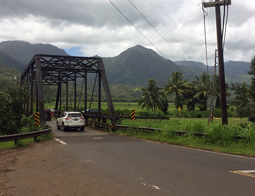
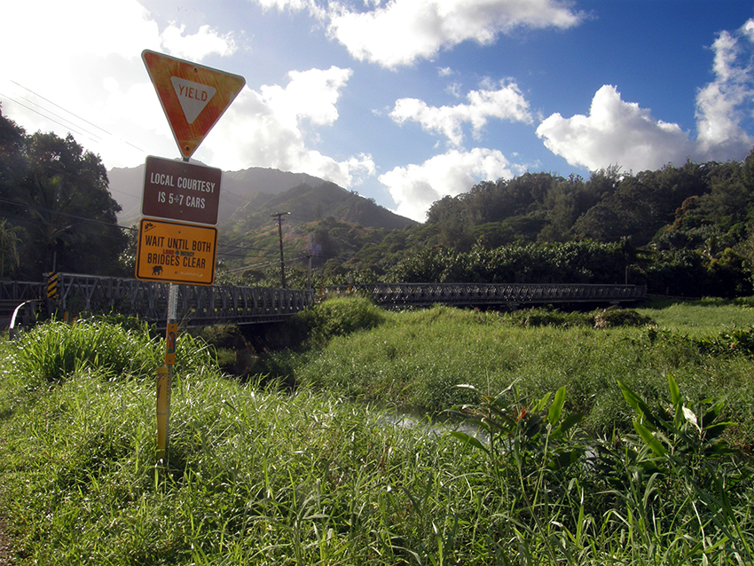
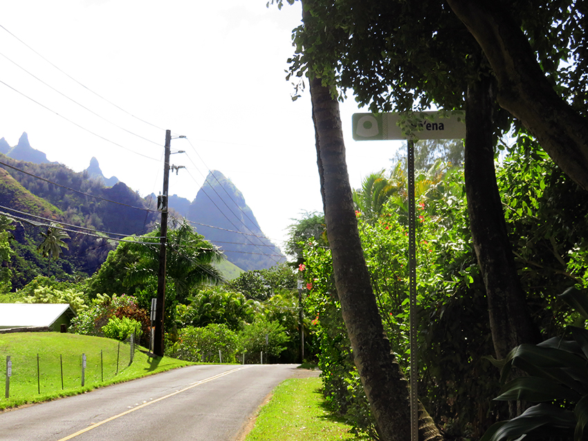
The road remains good through the small, relatively quiet town of Hanalei. But after that, there are nine miles of narrow twists and turns along the sea before reaching Hā‘ena. In this lush, wet coast there are many small rivers, and getting to Hā‘ena requires crossing no less than five one-lane bridges.
|
|
|
|

|
|
|
|
|
|
|
|
|
|
|
This automobile journey, taking perhaps one and a half hours from Līhu‘e, still creates a strong sense of having left behind modern society and entered a place where the influence and power of the physical environment are very pronounced. But for the first peoples to come here by voyaging canoe, it must have seemed very special indeed. Arrive with them and learn of Hā‘ena as a home land.
|
|
||

|
|
|
|
|
|
|
|
||||
| Copyright 2018 Pacific Worlds & Associates • Usage Policy • Webmaster |
||||